The history of the Territory and State of Colorado is inextricably tied to base metals and precious metals. Gold and silver strikes were a big draw for the migration of population to Colorado from the 1859 Pikes Peak Gold Rush onward. A map of the ore geology of Colorado reveals a few key districts or zones of enhanced mineral abundance. The Colorado Mineral Belt (CMB) is a band of ore deposits that are positioned diagonally across the middle of the mountainous part of the state, SW to NE, roughly from Durango to Boulder.
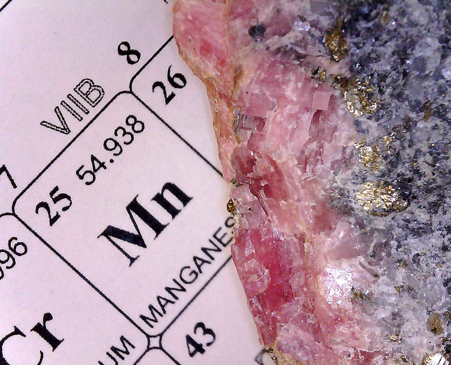
Other districts containing economically viable ore bodies exist outside of the CMB, notably the Thirtynine Mile Volcanic Field west of Colorado Springs. While rich deposits of gold were found near Central City and many other locations in the CMB, the relatively rare gold/tellurium ore found near Cripple Creek and Victor on the periphery of the Thirtynine Mile Volcanic Field have provided approximately half of all the gold mined in Colorado. Gold has an affinity for tellurium and may be found combined with it in the form of the mineral calaverite.
In particular, the Cresson mine near Cripple Creek has been an especially rich producer of gold. In November of 1914, a 4 m x 8 m x 13 m cavity or “vug” at the 1200 ‘ level was found to be lined with gold telluride and other minerals. Depending on which source you believe, it is reported that from 20,000 to 60,000 ounces of gold were removed from this small space.
The Cripple Creek volcanic complex is a highly altered, highly brecciated formation that has been described in detail elsewhere. The link provides a more detailed description and a bibliography.
Links updated 7/2/19.

I’m curious. In the area I’m in, there have been some local gold finds. Have you ever attempted panning for gold? Is this ludicrous in today’s world?
I see local clubs use heavy duty hoses/pumps/machinery to effectively strip mine an area. Seems pretty brutal, but maybe that’s the only way to secure ROI. My guess is that the rivers were sh*tting gold at the turn of the last century to make money by panning! I find it hard to believe that EVERY gold rich stream or river-bead in the US has been found.
Hi John,
Panning for gold is the process of recovering placer gold. Placer deposits wash down from exposed veins of gold ore somewhere uphill from the stream deposit. In principle, from each spring snow melt a quantity of gold dust or nuggets can wash down from uphill ore exposures.
The rule is, “Gold is where you find it.” I have spent a small amount of time panning several streams around here looking for gold. I have never blundered into any color.
I have talked to a couple of old timers, retired hard rock miners, who claim to be able to earn a living in certain streams in Clear Creek County by panning for gold. There is the problem of having the right to pan for gold- mining claims, private property, and mineral rights laws may complicate ones attempt to seriously exploit any given source. I have never been interested enough in it to look into the matter of claims.
The people you have observed with the equipment are smart about it. You need to be able to run large amounts of sand and gravel through a sluice to sift and isolate enough color to make it pay decently. Such settling devices are easy enough to fabricate from inexpensive materials. But once you have it, you need to have the manpower and water to keep material moving through it.
“The history of the Territory and State of Colorado is inextricably tied to base metals and precious metals.” I think that shows just from the name of some of the towns – Tellluride, Gypsum, Leadville…
Compare with Flatville, Illinois
They don’t call ’em the great plains for nuthin. I understand that the plains area of the North American continent have been stable for about 0.5 billion years.