Being retired and an avid YouTube viewer I recently blundered into a group of videos presenting supercomputer simulations of tornado formation and evolution. The work is done by Dr Leigh Orf and coworkers.
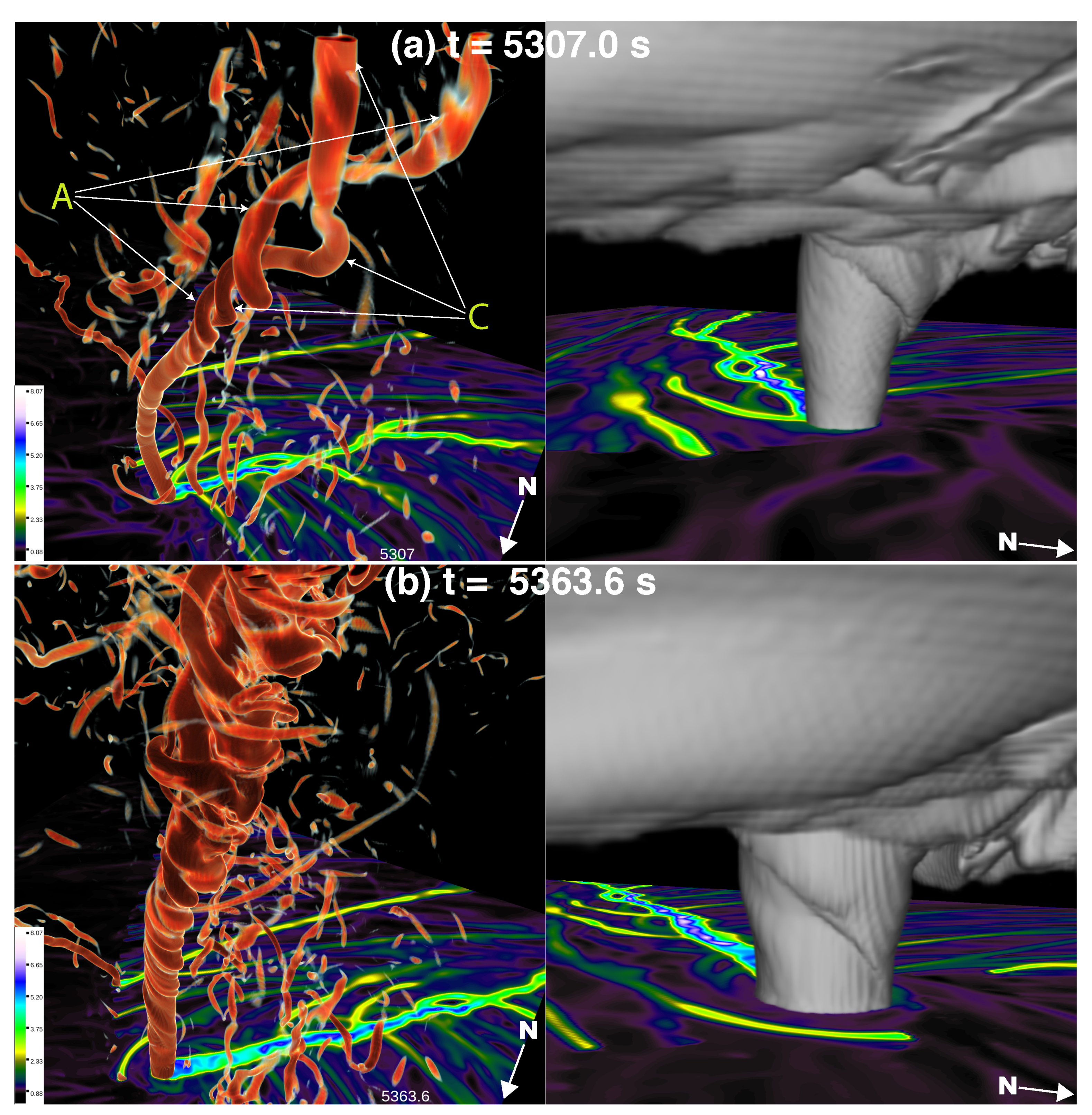
In an article titled A Violently Tornadic Supercell Thunderstorm Simulation Spanning a Quarter-Trillion Grid Volumes: Computational Challenges, I/O Framework, and Visualizations of Tornadogenesis, Orf describes his supercomputer simulation results from a program written in Fortran95. I gather that development of the software was quite a feat.
What caught my attention was the visual and computational appearance of multiple vortices in the early stages of tornado formation. This can be seen in Orf’s simulations. As a tongue of in-flowing air streams towards the central vortex it abruptly swerves upward and in doing so begins to repeatedly spawn lesser vortices that in the upwards flow that will coalesce with one another and combine with the core vortex. The formation of wispy clouds flowing into the rising, low pressure air funnel renders some of the flow field visible, but not nearly as much as the simulation.
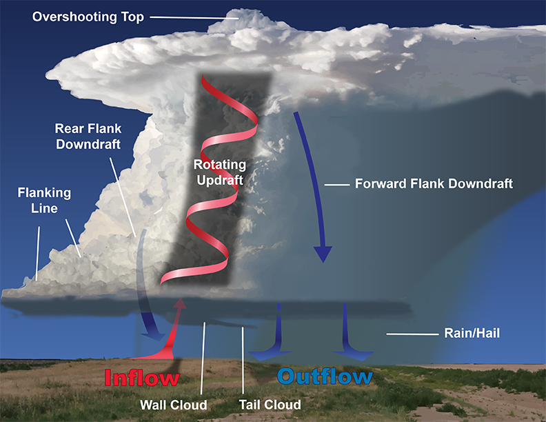
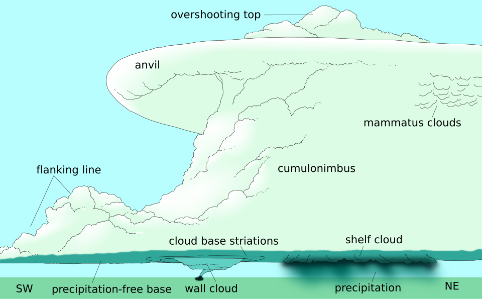
As the supercell matures, the upward lofting of moist air slows, spreading horizontally and flattening the top to give the characteristic flat top of an anvil cloud. Air cooled at high altitude begins a down wash to the ground carrying precipitation with it. This down wash hits the ground and spreads horizontally causing the so-called first gust prior to the arrival of the storm. You may have noticed the arrival of a strong gust of cold air just before a major storm begins in earnest.